An ambitious conservation
collaboration
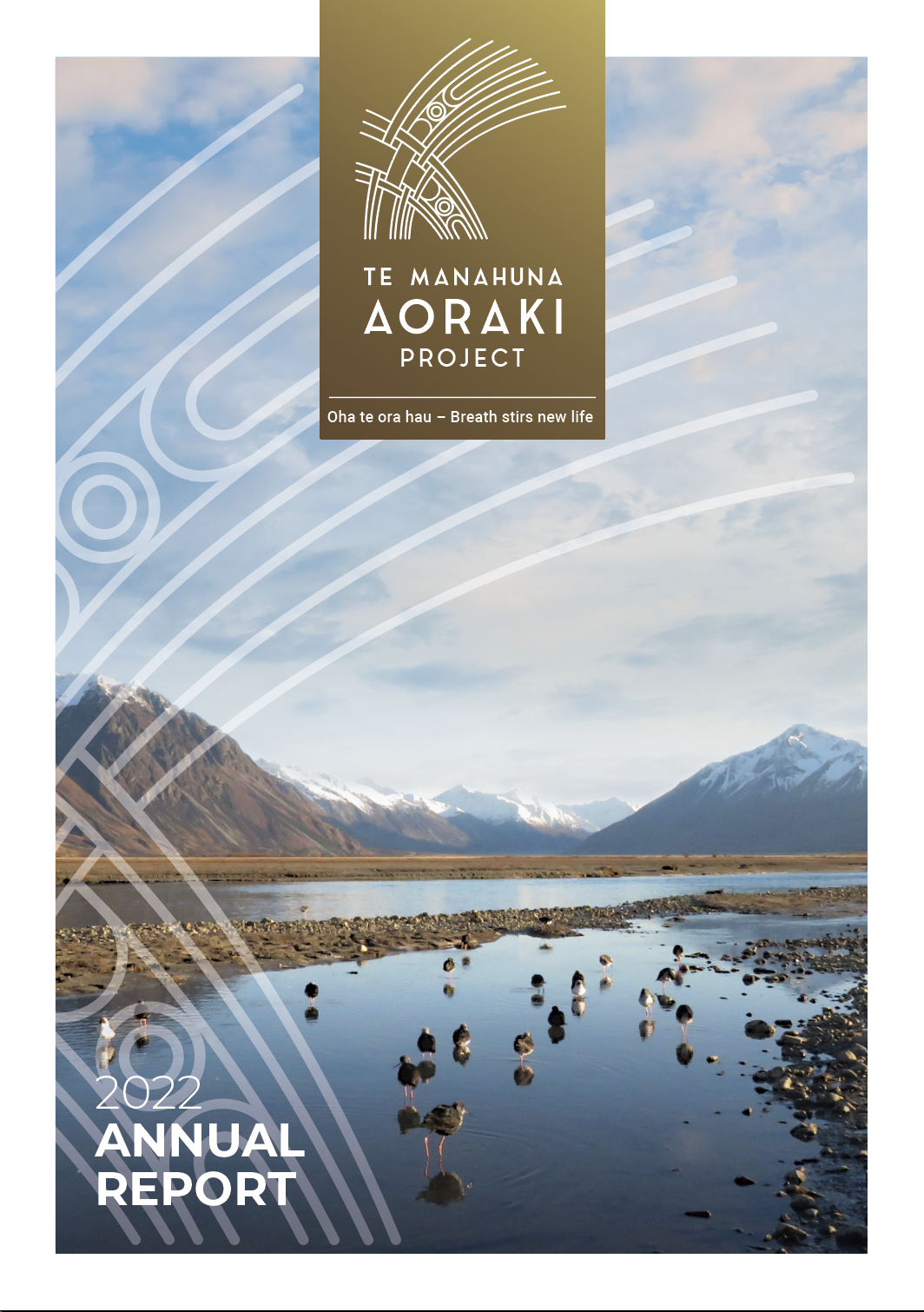
Te Manahuna Aoraki Project is a charitable company launched in 2018 to protect and revitalise the upper Mackenzie Basin and Aoraki Mount Cook National Park. It is ambitious and unique in terms of scale – both in the size of the area, and the number of different partners that have been brought together with a common goal.
INTRODUCTION

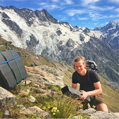
Manawhenua, high country landowners, government departments, philanthropists, and the community are all working collaboratively towards a shared vision to care for this special environment.
The 310,000ha project area sits within Te Manahuna/the upper Mackenzie Basin and Aoraki Mount Cook National Park. It includes mountain ranges, Lake Pūkaki, Lake Takapō/Tekapo and the extensive braided river systems that feed them.
The site is of deep spiritual and cultural importance for the mana whenua, Ngāi Tahu. Forty per cent of the project area is managed as high country farms, and landowners also have a deep connection to the land.
Approximately 60% of the project area is crown land. The majority is conservation land managed by DOC. It also includes stewardship land managed by LINZ, and an area of approx 15,000ha is managed by the New Zealand Defence Force as the Takapō/Tekapo Military Training Area.
Te Manahuna Aoraki Project wants to reverse the ecological decline and bring back new life.
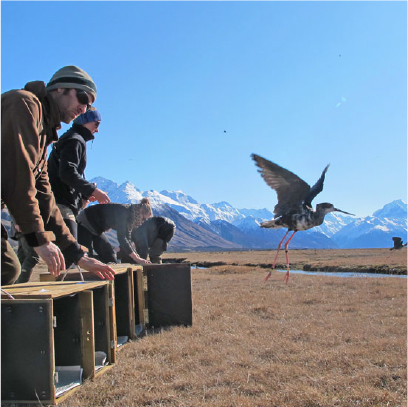
The project area is a stronghold for many endangered endemic plant and wildlife species. However, the ecosystems and species are being impacted by invasive weeds and pests.
Since the launch in 2018 the project has made conservation gains, built connections, asked questions, and developed a 20-year-plan to protect the unique species, landscapes, and eco-systems across the whole 310,000 hectare project area. In June 2022 the board approved the next five years of the project. Zero Invasive Predators (ZIP) have been engaged to deliver and develop all technical and operational aspects of the project.
INTRODUCTION
Oha to ora hau – Breath stirs new life
OUR PARTNERS
Te Manahuna Aoraki Limited was established as a charitable company in 2018 with the following founding partners
What makes us unique?
Te Manahuna Aoraki Project is an aspirational and ambitious project, aiming for several ‘firsts’ in Aotearoa New Zealand.
LANDMARK
PROJECT
This is the first large-scale restoration initiative of a dryland landscape in the country. The project area spans continuous tracts of naturally rare glacier-derived ecosystems, stronghold habitat for some of New Zealand’s most threatened species, sites of immense cultural significance, and iconic high country farmland.
GROUNDBREAKING
APPROACH
By eliminating small mammal pests and predators from the project area – and keeping them out – we will pave the way for others to do the same in similar landscapes, using natural barriers to stop reinvasion.
AMBITIOUS
SCALE
The 310,000 ha area includes around 35% private land, which makes it a special conservation collaboration in terms of scale – both in the vast area we are restoring, and in the number of partners we are bringing together with a shared vision to care for this unique landscape.
GOALS
Working together and aiming high
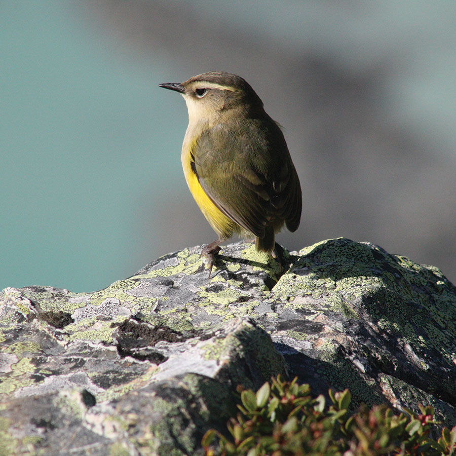
- The ecological prospects of Te Manahuna are transformed; with rare alpine, braided river, wetlands and dryland tussock ecosystems protected and re-establishing
- Existing populations of threatened species have been protected and are flourishing
- Iwi, hapū and whānau have enhanced their connection to the whenua
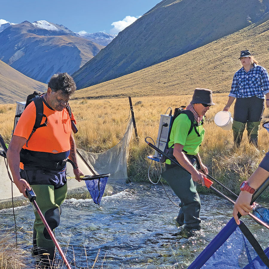
- People are thriving, together with nature
- Biodiversity gains are valued and secured for future generations
- The iconic high country values and landscapes are protected
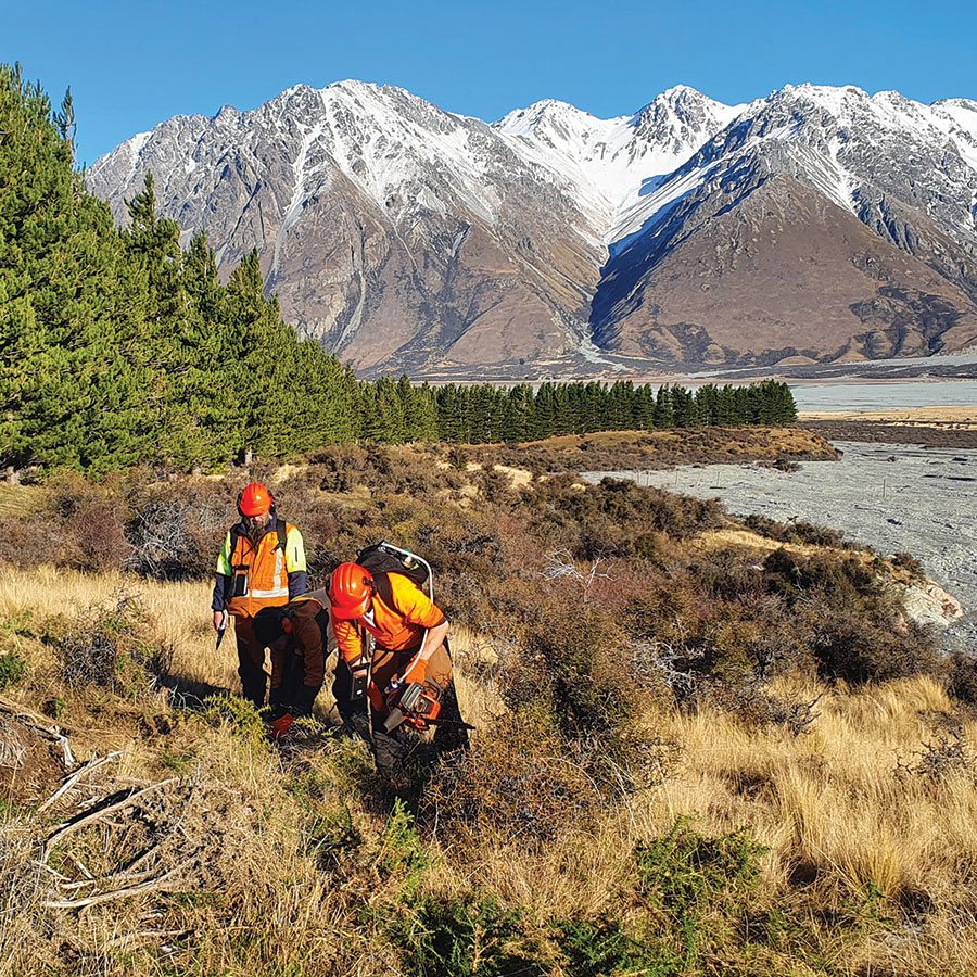
- Te Manahuna Aoraki Project provides the pathway to achieve predator elimination in east coast dryland landscapes, contributing to the goal of a predator free New Zealand
- Te Manahuna Aoraki Project is celebrated as an outstanding collaboration and the model is being replicated and enhanced
Tohu tells a story
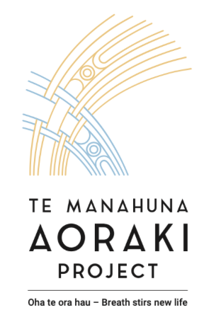
The project’s tohu (logo) was designed by distinguished artist and arts professor Ross Hemera of Ngāi Tahu, Ngāti Māmoe, and Waitaha. His creative work draws inspiration from the landscape of Te Waipounamu (the South Island), and the ancient rock drawings created by his tīpuna, the Waitaha people.
Ross was inspired by the haumata tussock seen throughout Te Manahuna. The blue colour comes from our understanding about Te Pō – the night and potential that comes from the night. The crispness of the frost, an essential element in Te Manahuna, and its motivation as an invigorator is also referenced. Keo – the shrill cry of the cold is inhaled, and oho – out of the depths, the long night’s stillness is roused.
From night comes the dawn – the hāpara, when the haumata tussock begins to shimmer. The red golden colour reflects this, with the lines woven together. The echoing north-west wind begins to stir life in this land.
OUR PEOPLE
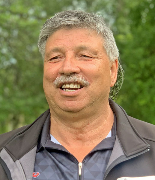
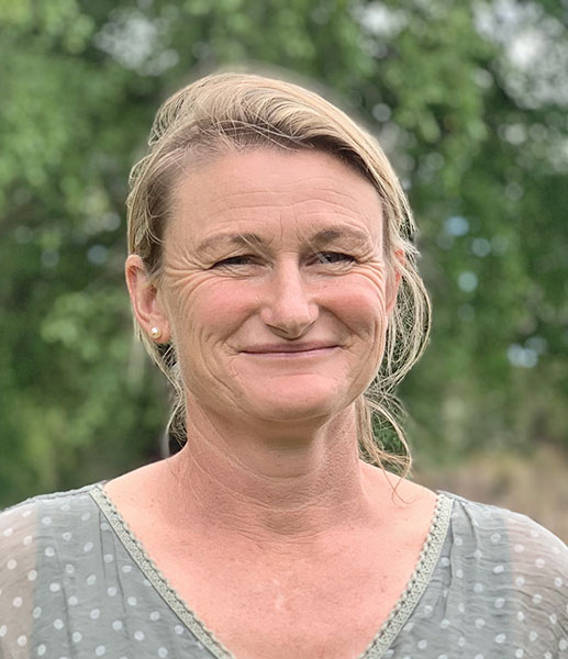
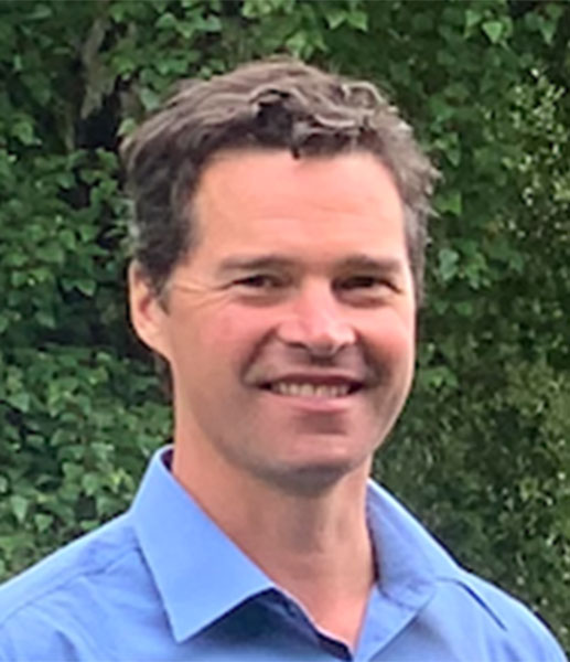
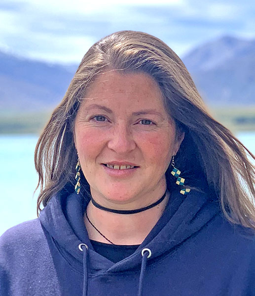
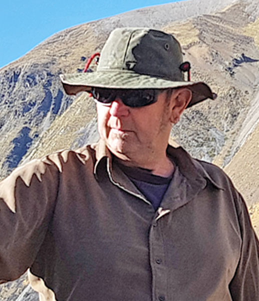
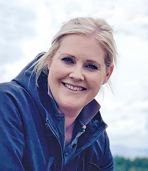
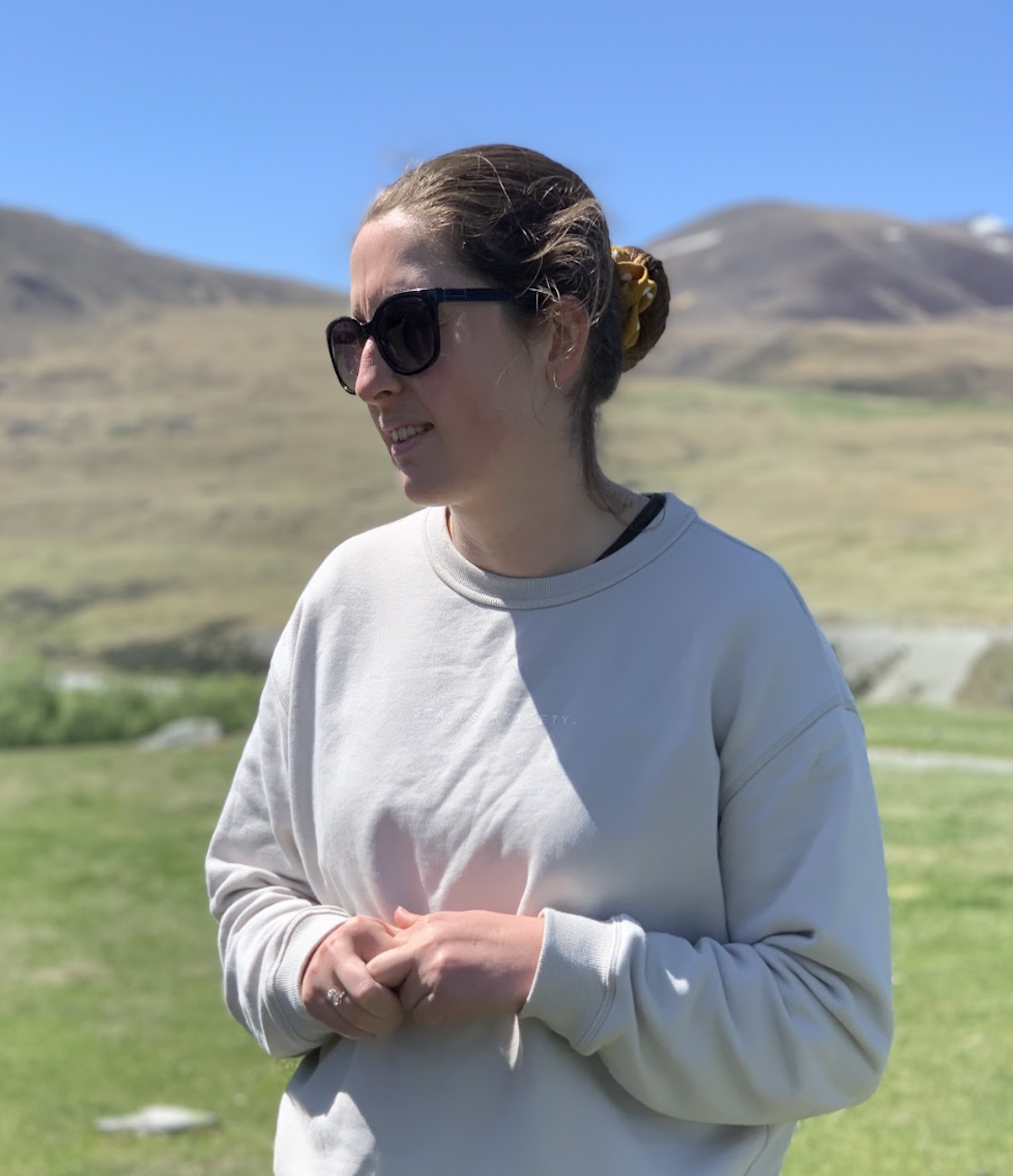
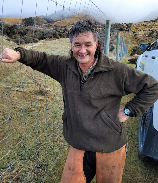
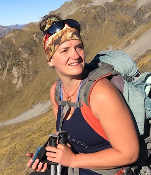
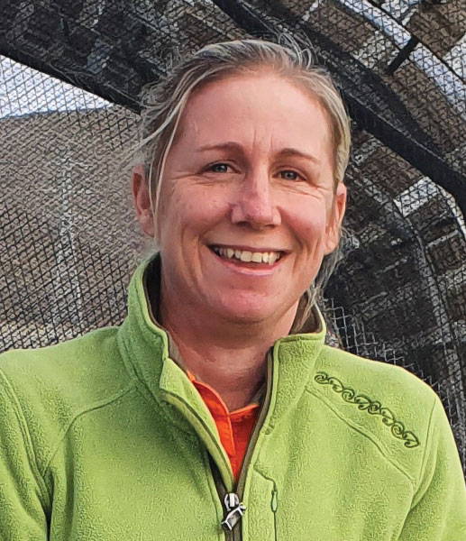
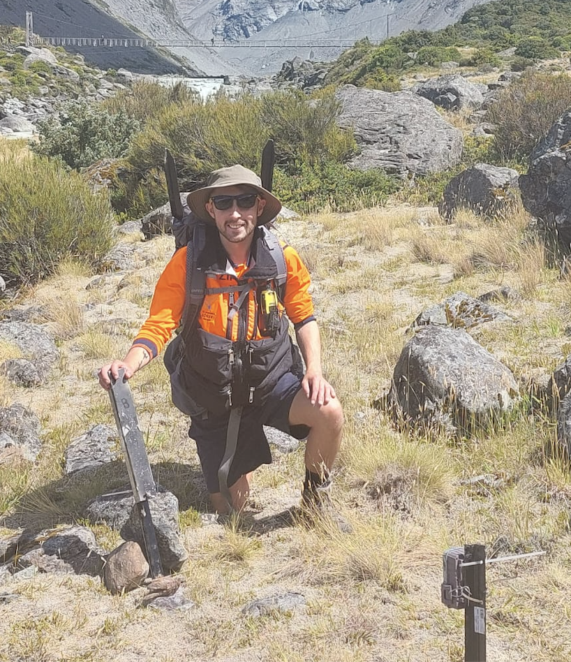
These people are helping us to transform the ecological prospects of the upper Mackenzie Basin and Aoraki Mount Cook National Park
Our board
Our team
FAQS
Your questions answered
Te Manahuna Aoraki Project is a collaborative project working over 310,000 ha in the upper Mackenzie Basin and Aoraki Mount Cook National Park. The project area includes private and public land – manawhenua, landowners, the Department of Conservation, Toitū te Whenua Land Information New Zealand, and philanthropists including NEXT Foundation are actively working together to target invasive weeds and pests, to protect biodiversity values and secure a safe habitat for threatened species.
Project River Recovery was established in 1990 and funded by Meridian Energy and Genesis Energy in recognition of the impacts of hydroelectric development on braided rivers and wetlands. Managed by DOC, the project undertakes weed and predator control in the Tasman River valley and other habitats of the upper Waitaki Basin.
Tū Te Rakiwhānoa Drylands is an initiative between the Department of Conservation and mana whenua to protect lower altitude areas in the Mackenzie and Waitaki Basins (mainly below 800m). The Department of Conservation launched the project in 2020 by protecting an 11,800 ha area as conservation land to preserve the unique dryland ecosystem.
The Mackenzie Basin Agency Alignment Programme is an alliance of the five agencies with statutory responsibilities in the Mackenzie Basin. They are Mackenzie District Council, Waitaki District Council, Environment Canterbury (ECan), Toitū te Whenua Land Information New Zealand (LINZ), and the Department of Conservation (DOC). The Programme was launched in 2017 to improve how the agencies work together to protect the landscape, water quality and native plants and animals in the Mackenzie Basin.
Te Manahuna Ki Uta / Destination Mackenzie Project is a multi-partner strategic planning process developing a destination management plan for the Mackenzie District. It is focused on tourism and how to ensure sustainable growth and resilence going forward.
The Southern Māori dialect often uses a k instead of ng and manawhenua use both options. An example is mahika kai rather than mahinga kai (species and practices used for harvesting food, and places where food or resources were gathered).
We are lucky that other organisations have programmes aimed at these species which means we can concentrate on controlling other invasive weeds and pests. There are three national programmes that operate within Te Manahuna Aoraki boundaries: the National Wallaby Eradication programme, led by the Ministry for Primary Industries (MPI), the National Wilding Conifer Programme, and a Himalayan Tahr programme run by DOC.
If you have unanswered questions about our project, please contact us.
Photo credits: John Allen, Nick Foster, Liz Brown
